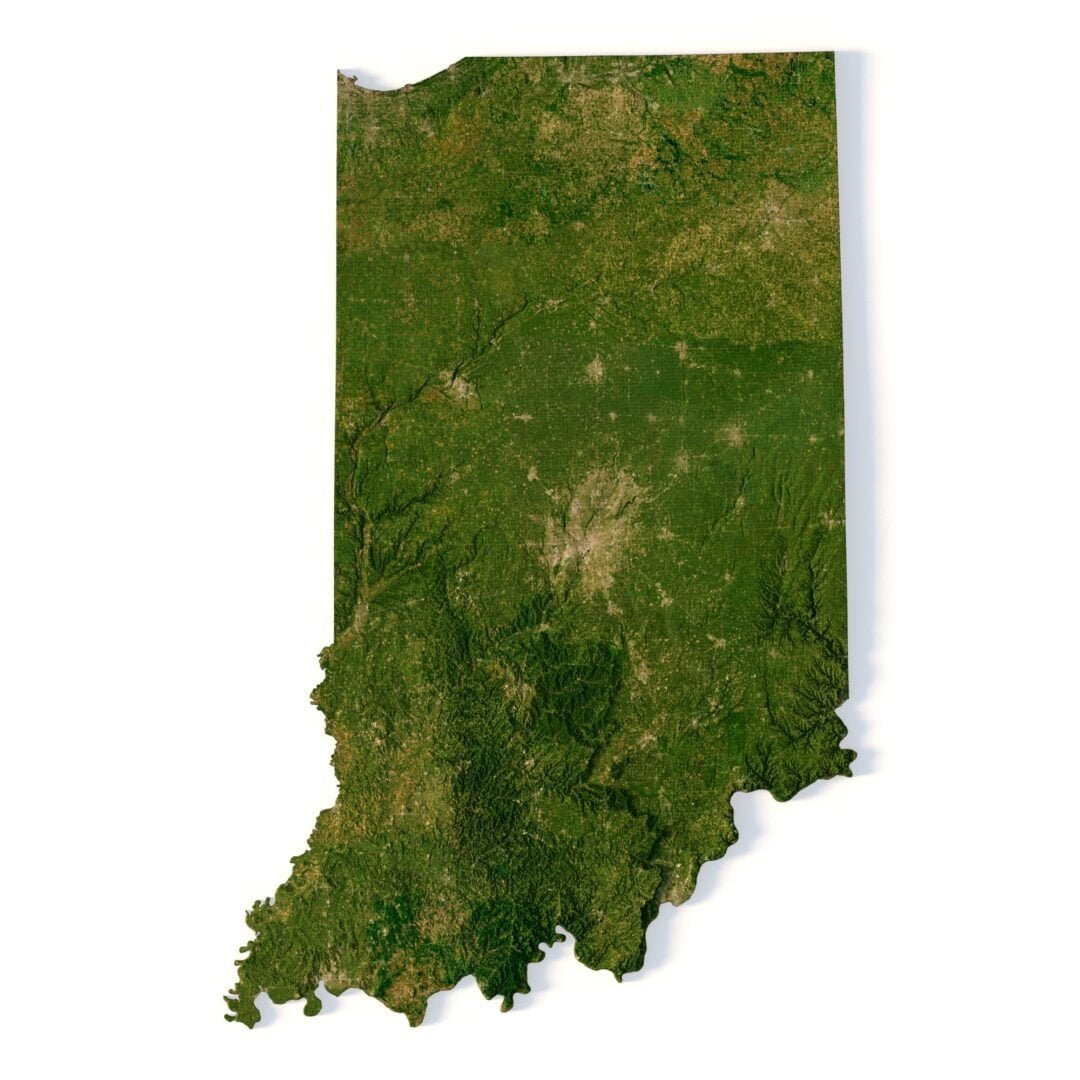

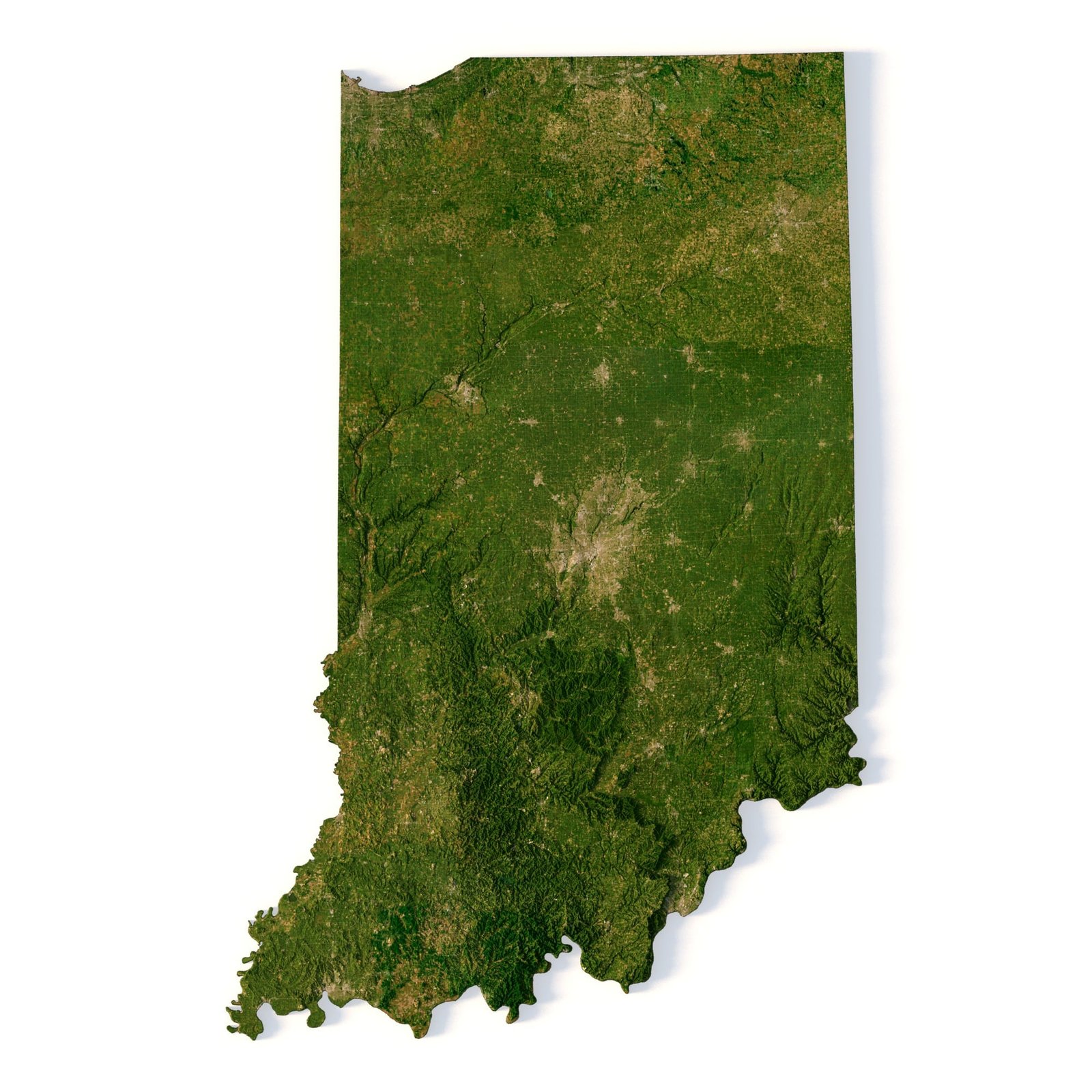
Indiana 3D model terrain
Order via WhatsAppThe Indiana 3D Model is a highly detailed and accurate representation of the topographical features of Indiana. The model includes mountains, valleys, rivers, lakes, and other natural features found in the state. It is perfect for use in graphic design, 3D printing, and CNC milling.The model is created using a combination of data from satellite imagery and topographical surveys. This data is then processed and used to create a highly detailed and accurate digital model of the terrain. The model is created at a high resolution, which allows for fine details to be captured and represented accurately. In addition to the 3D terrain of Indiana, I can attach a map of heights, shape-files and various satellite textures.Indiana terrain DEMThe elevation map is used to get information about low and high parts of the Indiana relief.Shapefile of Indiana and River MapThe shapefile is used to cut along the contour.Satellite image of IndianaThe satellite texture is high resolution in TIF format.Have a Question?Do you need a higher resolution 3D relief of the State of Indiana? Do you need Shapefile? Do you need more resolution satellite images? Do you need a 3D model in BLEND, OBJ or FBX format?WRITE A MESSAGEState of Indiana STL