


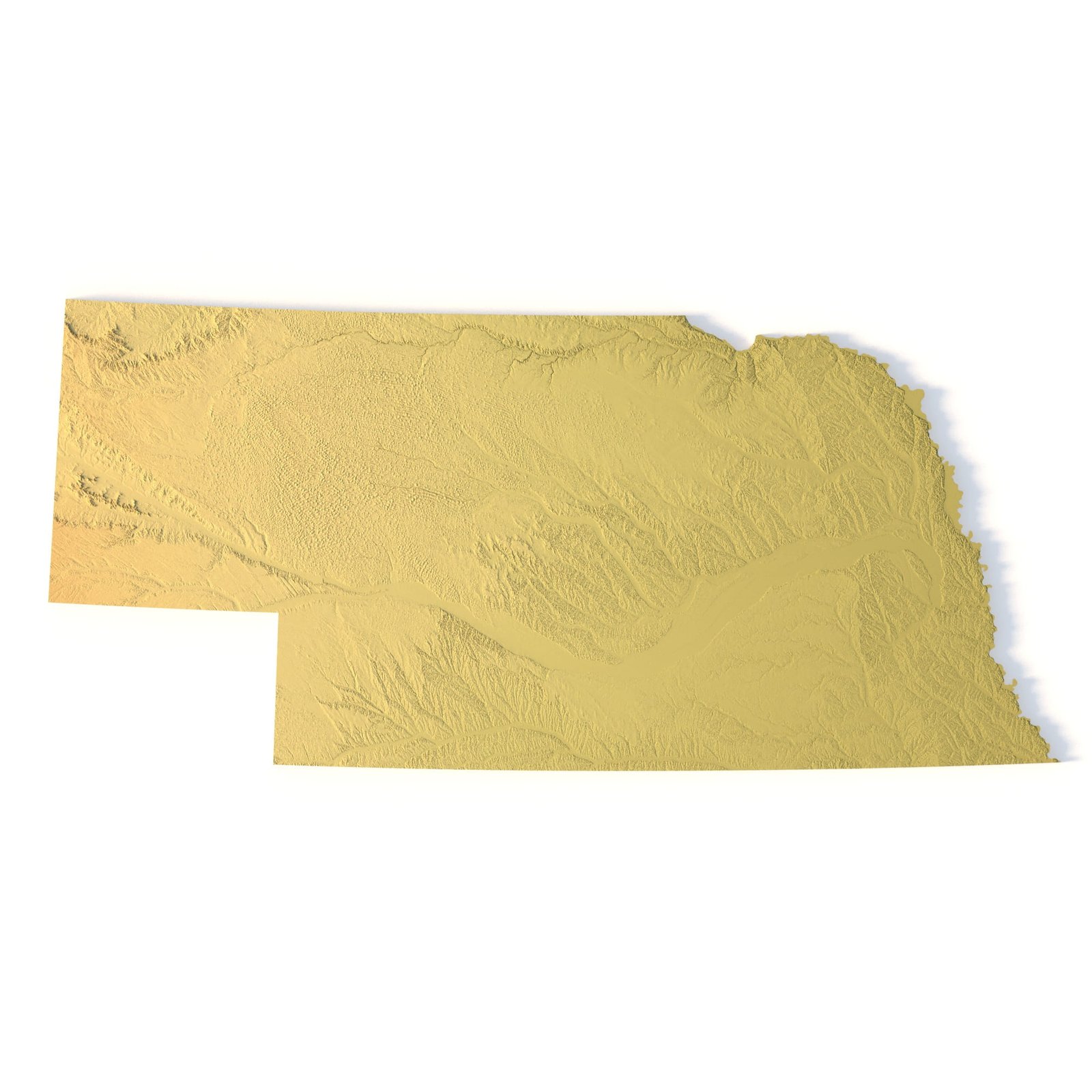
Nebraska Topographic Map STL – 3D Terrain Model for 3D Printing & CNC
Order via WhatsAppNebraska Topographic Map STL – High-Detail 3D Terrain ModelNebraska Topographic Map STL is a high-resolution 3D terrain model created from accurate elevation data and optimized for 3D printing, CNC carving, and laser engraving. The model precisely represents Nebraska’s landscape, including plains, river valleys, sandhills, and subtle elevation variations characteristic of the region.Delivered in STL format, this Nebraska terrain model is fully compatible with FDM and SLA 3D printers, as well as CNC routers and milling machines. Clean polygonal geometry combined with enhanced vertical scaling ensures realistic terrain depth, smooth surface transitions, and clearly defined relief features in physical topographic maps.Key Features of the Nebraska Terrain STL ModelHigh-detail Nebraska topographic map STLAccurate digital elevation model (DEM)Suitable for 3D printing (FDM / SLA)Compatible with CNC carving and millingOptimized for laser engravingMercator projection for consistent proportionsTriangle-only polygonal meshOpen or closed base optionApplications of the Nebraska 3D Topographic MapThis Nebraska 3D terrain model is suitable for a wide range of applications:Raised topographic relief mapsCNC-carved wooden or metal terrain modelsEducational geography and earth science projectsLandscape and hydrological visualizationMuseum exhibits and presentation modelsDecorative wall maps and custom installationsWhether you are producing a 3D printed Nebraska map, a CNC terrain model, or a laser-engraved relief, this STL file provides professional-grade accuracy and reliable results. This model on Cults3D→Nebraska 3D Model